Treasure Coast 3D offers 3D scanning, LiDAR, scan-to-BIM, drone mapping, and digital twin services for projects in Stuart, Florida. Sub-millimeter accuracy. As-built drawings in 7 to 14 days.
Get a Stuart Quote →Service categories we offer in the Stuart market.
Point cloud to LOD 200-400 Revit & CAD.
architectureField-verified plans, elevations, sections.
flightAerial mapping up to 1,000 acres.
layersInteractive 3D walkthroughs, in-browser.
smart_toyBIM-to-field, 10x faster than manual.
Powered by ARK shield3D twins for schools, hospitals, infrastructure.
The Library
A snapshot of deliverables we produce — point clouds, BIM, 2D drawings, analysis reports. Tap any to view full-size.
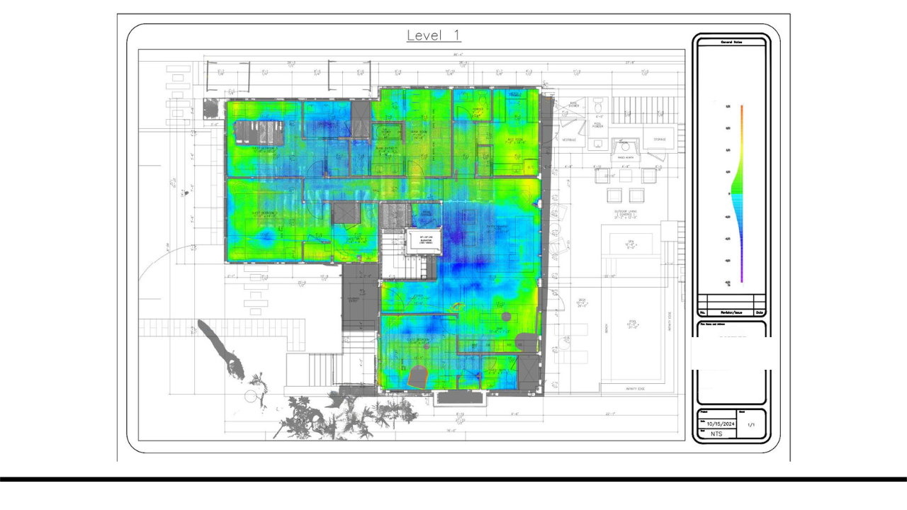
Floor Flatness
FF/FL heatmap with deviation analysis — slab quality at a glance.
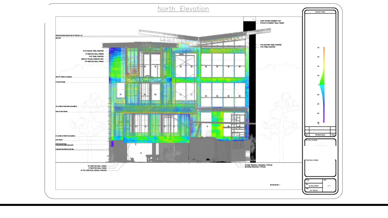
Wall Plumbness
Color-coded deviation per wall — flag what's out of tolerance.
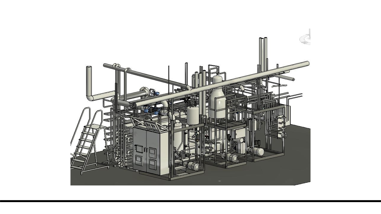
3D MEP Model
Mechanical, electrical, plumbing — coordinated in one Revit model.
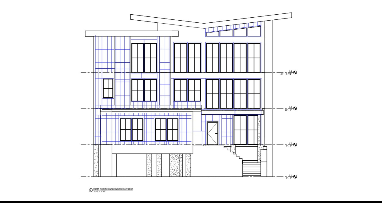
2D As-Built Elevation
Drawn directly from the scan — every dimension verified.
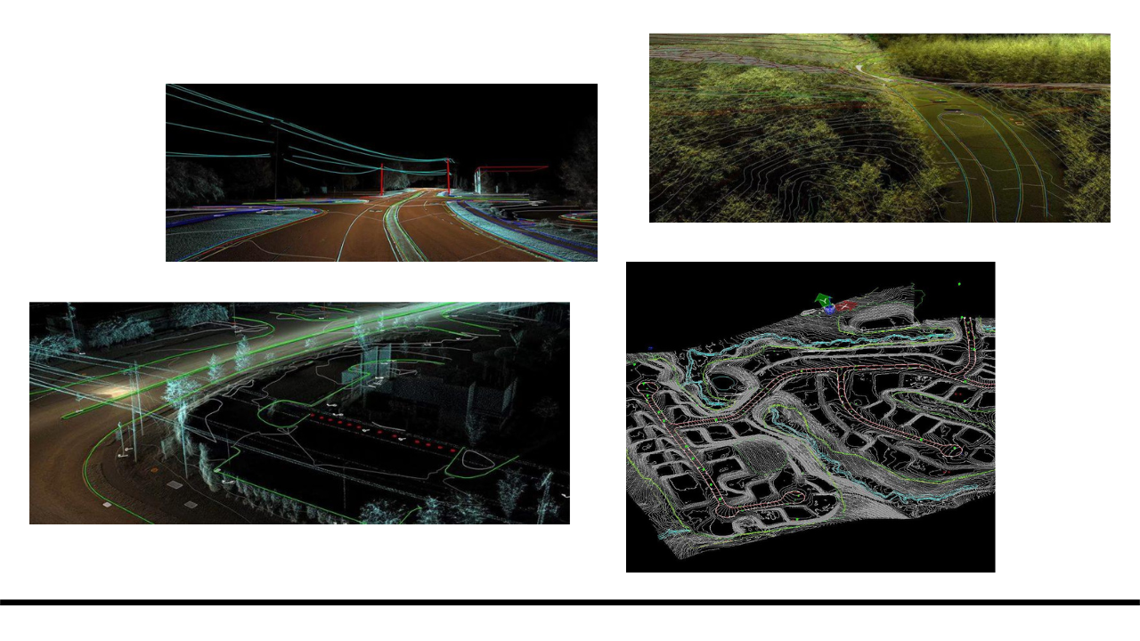
Topographic
Site grade extraction from point cloud — DWG-ready.
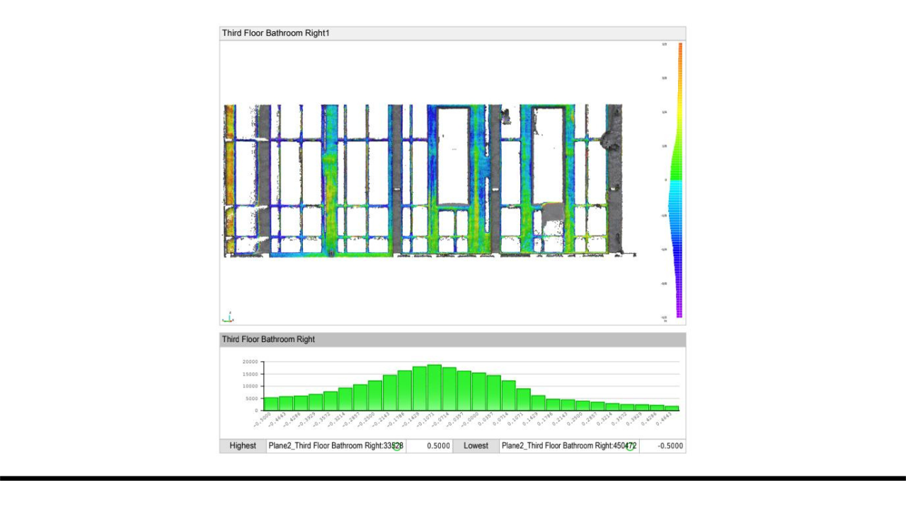
Wall Studs
Stud-by-stud variance map — frame integrity at LOD-300.
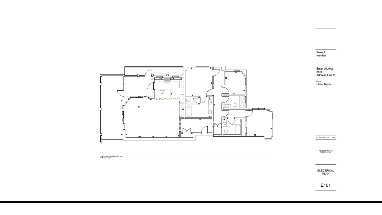
Electrical Plan
Outlets, switches, circuits drawn from existing conditions.
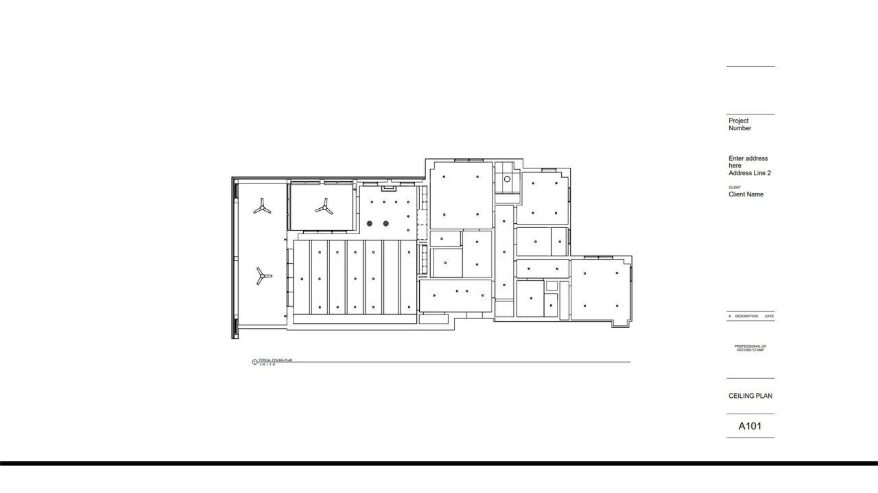
Ceiling Plan
Reflected ceiling plan — fixtures, vents, soffits in plan view.
Need a different format? Tell us — we'll quote it.
Commercial buildings, industrial and manufacturing facilities, residential properties, healthcare facilities, hospitality and resort properties, marine and waterfront properties, and infrastructure scopes. Standards are consistent nationwide.
Raw point cloud (E57, LAS, RCP), 2D as-built drawings (PDF, DWG), LOD 200 to 400 Revit BIM model, and interactive digital twin walkthroughs that embed in any browser. We match the deliverable to your design or facility-management workflow.
Tell us about your Stuart project. We'll respond within one business day with a quote and timeline.